LiDAR & Orthophotography
Expert Nationwide Helicopter Service
LiDAR
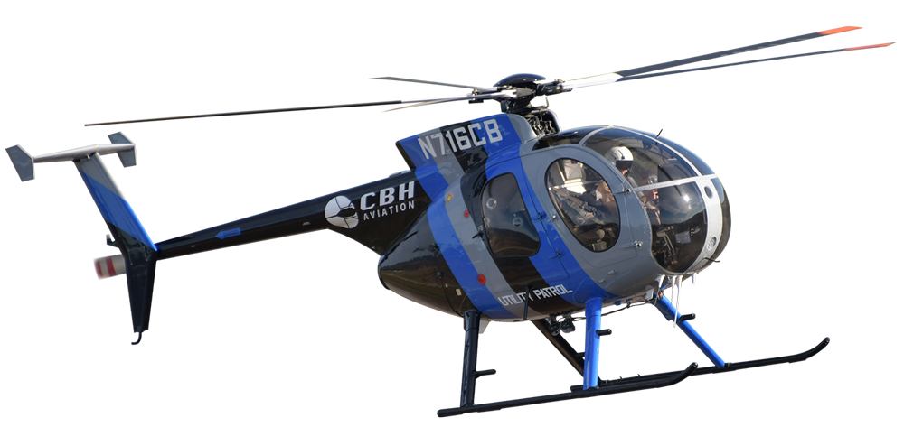
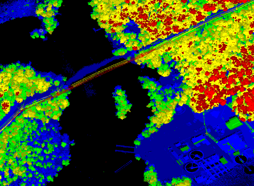
CBH Aviation has rapidly grown into a leading LiDAR data and digital image collection agency. Since 2005 we have worked and collected data for most utilities across the USA as well as major engineering firms directly or as subcontractor
We can collect and process the following types of data for your firm:
- LiDAR data—Multiple High-PRR sensors
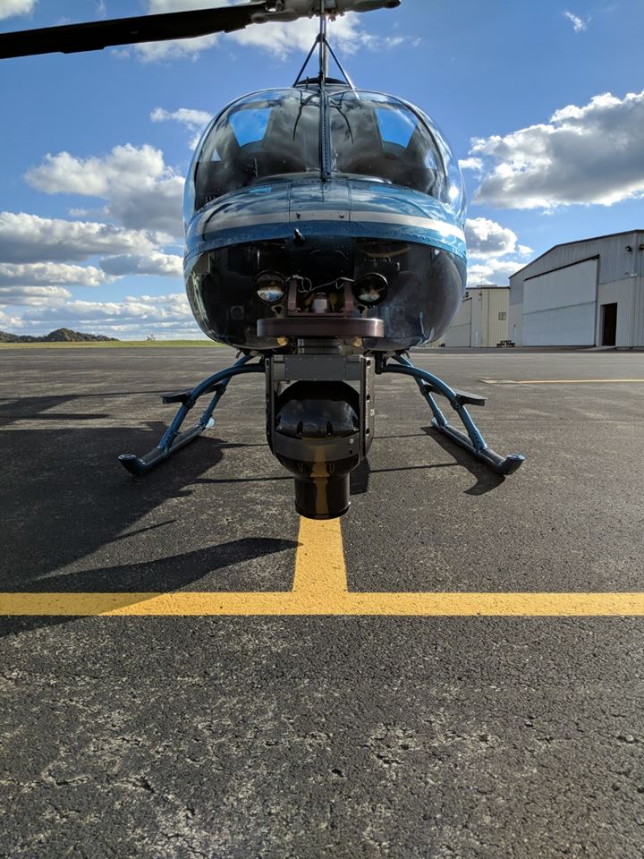
- Customizable lidar pods with tiltable cameras and sensors to best fit the application
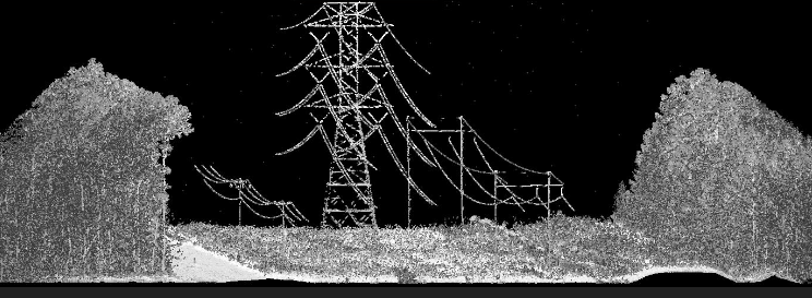
- Corridor and Wide-Area Projects
- Transmission and Distribution
- As-builts, Greenfield and Vegetation surveys
- Fast delivery with accurate results
Ortho-Mosaic & Oblique Photography
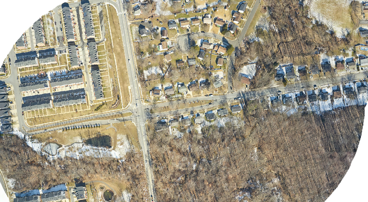
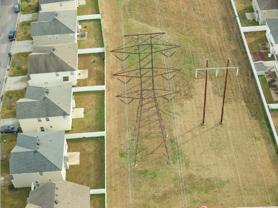
CBH Aviation can provide high quality Ortho-Mosaic digital imagery of power lines, pipelines, or any other asset. We also provide helicopters for still photography applications.
We have multiple PhaseOne and Hasselblad sensors capable of producing high quality, geo-referenced, ortho-mosaic imagery for Lidar mapping, pipeline density studies, asset documentation, or project planning.
- Phase One Ortho and Oblique Imagery – up to 150MP resolution
- Simultaneous collection of forward and aft imagery for single pass solution
- Customizable angle and lenses to fit clients’ needs
We can handle all your aerial photography and filming needs.
Aerial Filming & Electronic News Gathering
We also collect High-Definition Video imagery using High-Definition gyrostabilized systems
- Gyrostabilized FLIR gimbal – HD TV, IR and UV in 1 pass
- 4K stabilized video to go along with Lidar and Orthophotography or as standalone project
- All our helicopters equipment with nose camera mounts to support other sensors and gimbals

